All posts tagged as Northeast Trip

14 Oct

Mt Katahdin Trip Report Posted

In State Highpoints by Robert Danger Byrd / October 14, 2014 / 0 Comments

Mt Katahdin was highpoint #8 of 8 and the crown jewel of our 2014 Northeast trip. Susan did the first 7 with me and my good friend and climbing partner Rick Overholt joined me for Katahdin.

This was a fantastic climb and you will find the resources for it here:
Mt Katahdin Trip Report
Mt Katahdin Gallery
Mt Katahdin Blog Posts

You will find, status, photo galleries and trip reports for all of my adventures on the Highpoints Page.


11 Oct

No Hotels in Bangor Maine

In State Highpoints by Robert Danger Byrd / October 11, 2014 / 0 Comments

As is our usual plan, we don’t book the hotel for the return leg in case we need an extra day to complete the climb in which case we would drive directly to the airport.

We completed the climb and are back in Bangor now. Problem is, being that this area is in high color now, all of the hotels are booked.

We finally managed to find a single room an hour from Bangor and are driving there now.

10 Oct

inReach message from Robert Danger Byrd

In State Highpoints by Robert Danger Byrd / October 10, 2014 / 0 Comments

“Mission accomplished! Got back to camp an hour ago, grilling some fillets now. Last part of the hike was beautiful in its fall splendor. Good day to be alive”

View the location or send a reply to Robert Danger Byrd:
https://explore.delorme.com/textmessage/txtmsg?mo=894a280a6e42430f94abda342b59540a18696788&adr=blog%40robertdangerbyrd.com

Robert Danger Byrd sent this message from:
Lat 45.919762 Lon -68.857048

Do not reply directly to this message.

This message was sent to you using the DeLorme inReach two-way satellite communicator with GPS. To learn more, visit http://www.delorme.com/inReach/

10 Oct

inReach message from Robert Danger Byrd

In State Highpoints by Robert Danger Byrd / October 10, 2014 / 0 Comments

“Warmer now, feels nice & down to 2 layers but melting ice above has turned ravine trail into an active stream. Very steep and slippery here. Rain is coming”

View the location or send a reply to Robert Danger Byrd:
https://explore.delorme.com/textmessage/txtmsg?mo=acdc04751c1c4099890e42b70d691c9c18685305&adr=blog%40robertdangerbyrd.com

Robert Danger Byrd sent this message from:
Lat 45.914215 Lon -68.928545

Do not reply directly to this message.

This message was sent to you using the DeLorme inReach two-way satellite communicator with GPS. To learn more, visit http://www.delorme.com/inReach/

10 Oct

inReach message from Robert Danger Byrd

In State Highpoints by Robert Danger Byrd / October 10, 2014 / 0 Comments

“Taking a break on the leeward side of ridge. Fog lifted revealing breathtaking views of rocky but colorful valleys filled with trees and lakes. Praise God!”

View the location or send a reply to Robert Danger Byrd:
https://explore.delorme.com/textmessage/txtmsg?mo=9fd7612a87ea413e81a0d08947d12f4418683690&adr=blog%40robertdangerbyrd.com

Robert Danger Byrd sent this message from:
Lat 45.91384 Lon -68.932172

Do not reply directly to this message.

This message was sent to you using the DeLorme inReach two-way satellite communicator with GPS. To learn more, visit http://www.delorme.com/inReach/

10 Oct

inReach message from Robert Danger Byrd

In State Highpoints by Robert Danger Byrd / October 10, 2014 / 0 Comments

“Made summit! 27 deg, windy, foggy w low visibility so no valley pics this trip. Surrounded by a wasteland of rhyme ice covered boulders, knife not likely.”

View the location or send a reply to Robert Danger Byrd:
https://explore.delorme.com/textmessage/txtmsg?mo=f46cc358b69c43d183eca8da7844ab2118679589&adr=blog%40robertdangerbyrd.com

Robert Danger Byrd sent this message from:
Lat 45.904258 Lon -68.921398

Do not reply directly to this message.

This message was sent to you using the DeLorme inReach two-way satellite communicator with GPS. To learn more, visit http://www.delorme.com/inReach/

10 Oct

inReach message from Robert Danger Byrd

In State Highpoints by Robert Danger Byrd / October 10, 2014 / 0 Comments

“Just made ridge, very windy est 35MPH and icy. Will be slow going. Have 4 layers of technical clothing on and still cold. Brrrrrrr! Heading for the summit”

View the location or send a reply to Robert Danger Byrd:
https://explore.delorme.com/textmessage/txtmsg?mo=80baa9b0990d4747912efdf6fd52d6eb18675581&adr=blog%40robertdangerbyrd.com

Robert Danger Byrd sent this message from:
Lat 45.913828 Lon -68.932472

Do not reply directly to this message.

This message was sent to you using the DeLorme inReach two-way satellite communicator with GPS. To learn more, visit http://www.delorme.com/inReach/

10 Oct

inReach message from Robert Danger Byrd

In State Highpoints by Robert Danger Byrd / October 10, 2014 / 0 Comments

“Cathedral also iced over, taking Saddle route instead. Will take our time and hopefully Knife will open later.”

View the location or send a reply to Robert Danger Byrd:
https://explore.delorme.com/textmessage/txtmsg?mo=dced803ea59c4c60b99a46a25e7711ff18672029&adr=blog%40robertdangerbyrd.com

Robert Danger Byrd sent this message from:
Lat 45.91636 Lon -68.914403

Do not reply directly to this message.

This message was sent to you using the DeLorme inReach two-way satellite communicator with GPS. To learn more, visit http://www.delorme.com/inReach/

10 Oct

inReach message from Robert Danger Byrd

In State Highpoints by Robert Danger Byrd / October 10, 2014 / 0 Comments

2000′ up near vertical smooth rocks

09 Oct

inReach message from Robert Danger Byrd

In State Highpoints by Robert Danger Byrd / October 9, 2014 / 0 Comments

“Crisis averted, tent to tent begging turned up some fuel, & we had a hot meal. Sleeting earlier and its below freezing now. Sleeping in a 3 sided lean-to”

View the location or send a reply to Robert Danger Byrd:
https://explore.delorme.com/textmessage/txtmsg?mo=b92b61cff6a8455da55a4c47bc6a012418653753&adr=blog%40robertdangerbyrd.com

Robert Danger Byrd sent this message from:
Lat 45.916147 Lon -68.911637

Do not reply directly to this message.

This message was sent to you using the DeLorme inReach two-way satellite communicator with GPS. To learn more, visit http://www.delorme.com/inReach/

09 Oct

inReach message from Robert Danger Byrd

In State Highpoints by Robert Danger Byrd / October 9, 2014 / 0 Comments

“Just got to camp and realized we have no stove fuel which puts a kink in our meal plan. Last hour was in dark over a very wet rocky trail w many water Xings”

View the location or send a reply to Robert Danger Byrd:
https://explore.delorme.com/textmessage/txtmsg?mo=916f0deedd794e909e7d4e098f77da8118649883&adr=blog%40robertdangerbyrd.com

Robert Danger Byrd sent this message from:
Lat 45.916232 Lon -68.911678

Do not reply directly to this message.

This message was sent to you using the DeLorme inReach two-way satellite communicator with GPS. To learn more, visit http://www.delorme.com/inReach/

09 Oct

inReach message from Robert Danger Byrd

In State Highpoints by Robert Danger Byrd / October 9, 2014 / 0 Comments

“Now leaving the trailhead for Chimney Pond where we will camp tonight. The forest is amazing w brilliant color. Feel very blessed to be here at this time.”

View the location or send a reply to Robert Danger Byrd:
https://explore.delorme.com/textmessage/txtmsg?mo=a9a8fc9ff5dd452bb145b801337d353318645390&adr=blog%40robertdangerbyrd.com

Robert Danger Byrd sent this message from:
Lat 45.91901 Lon -68.857027

Do not reply directly to this message.

This message was sent to you using the DeLorme inReach two-way satellite communicator with GPS. To learn more, visit http://www.delorme.com/inReach/

09 Oct

inReach message from Robert Danger Byrd

In State Highpoints by Robert Danger Byrd / October 9, 2014 / 0 Comments

“Now leaving the trailhead for Chimney Pond where we will camp tonight. The forest is amazing w brilliant color. Feel very blessed to be here at this time.”

View the location or send a reply to Robert Danger Byrd:
https://explore.delorme.com/textmessage/txtmsg?mo=773cdd523a2d43b0961cdea893bd597818644693&adr=blog%40robertdangerbyrd.com

Robert Danger Byrd sent this message from:
Lat 45.91901 Lon -68.857027

Do not reply directly to this message.

This message was sent to you using the DeLorme inReach two-way satellite communicator with GPS. To learn more, visit http://www.delorme.com/inReach/

09 Oct

Mt. Katahdin Begins Now!

In State Highpoints by Robert Danger Byrd / October 9, 2014 / 0 Comments

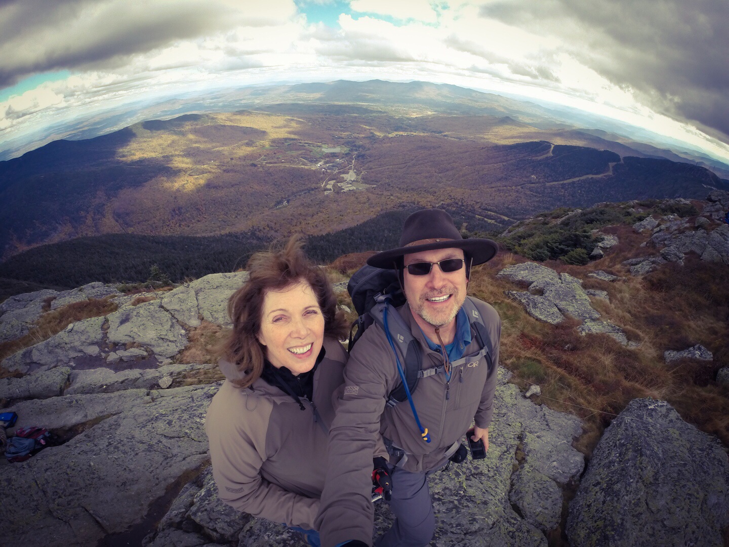
The crown jewel of our Northeast Trip is Mt Katahdin, and it starts now!

Rick and I are driving into Baxter State Park now through amazing color (best so far) and lost cell coverage a while back. We stopped at the North Woods Trading Post for some WiFi and other supplies. This will be my last direct post until we get back to civilization. All other posts will be via the satellite beacon. Tracking is already active via the Track link.

We plan to hike in and camp at the base of the mountain tonight at Chimney Pond (Thursday) night and start he climb Friday morning taking the knife edge weather permitting. Park ranger said the Knife Edge route may be iced over making the smooth rocks impassable, so we will have to play it by ear.

Here is some information about the Knife Edge Trail from the park services website:
This route is completely exposed and several people have died or have been seriously injured while attempting a traverse in inclement weather and/or high winds. Hiking Knife Edge is not recommended due to its difficulty and the amount of time it adds.

Sounds perfect to me!

08 Oct

Northeast Trip Highpoints #1-7 Complete, Only Katahdin Remains

In State Highpoints by Robert Danger Byrd / October 8, 2014 / 0 Comments

It has been a whirlwind trip with lots of hotels and driving, but highpoints number 1-7 of our Northeast 8 State Highpoints in 17 Days Trip are in the bag leaving only Katahdin, the highest mountain in Maine and a physically demanding climb.

Read more →

06 Oct

Mt Washington, NH Highpoint #7 of 8 Complete

In State Highpoints by Robert Danger Byrd / October 6, 2014 / 0 Comments

It’s 4:00 PM on Monday October 6th 2014 and Susan and I are standing on e summit of Mt Washington the highest peak in New Hampshire. It’s cold and windy, but actually quite good weather for this mountain which has notoriously bad weather.

The full Mount Washington Trip Report is posted here.

05 Oct

Mt Mansfield, VT – Highpoint #6 of 8 Complete

In State Highpoints by Robert Danger Byrd / October 5, 2014 / 0 Comments

It’s 2:31 PM October 5th and Susan and I are standing on the cold and windy summit of Mt Mansfield.

Mt Mansfeild, VT Summit Susan & Robert
Susan does not dig the weather, so we are taking a couple of summit photos and heading right back down. She did well taking only a single break on the way up.

The full trip report is posted here.

03 Oct

An Afternoon at the Algonquin Club in Boston

In Travel by Robert Danger Byrd / October 3, 2014 / 0 Comments

I needed to take care of some business and needed a quiet place to work and make some phone calls, so we dropped into the historic Algonquin Club in Boston. This is a private club, but is one of the many such clubs that have a reciprocal relationship with the Petroleum Club of Houston of which we are members. The club was oozing with old world class and exclusivity. It was a perfect place to spend an afternoon.

Read more →

02 Oct

Jerimoth Hill, RI Highpoint #5 of 8 Complete

In State Highpoints by Robert Danger Byrd / October 2, 2014 / 0 Comments

Jerimoth hill has long been considered one of the most difficult highpoints to complete as it is literally located in someone’s backyard. The land owner had a history of shooting at highpointers and holding others at gunpoint until the police arrived booking them for trespassing.

Read more →

02 Oct

Mt Greylock, MA – Highpoint #4 of 8 Complete

In State Highpoints by Robert Danger Byrd / October 2, 2014 / 0 Comments

Yesterday Susan and I knocked out The Massachusetts highpoint which was a drive up. We woke up to rainy weather, but found it a bit cooler which was nice.

 A Beautiful Drive
On our way to Mt. Greylock we drove through the idealized countryside of the Berkshires which is dotted with farms, cottages and old barns which left me wondering where the real homes are. I suspect these are cardboard facades put up for the tourists and the real homes are hiding behind them. No matter the case, this is a beautiful part of America.

Read more →