Adventure Blog

17 Aug

The Trouble with Ducks

In State Highpoints by Robert Danger Byrd / August 17, 2016 / 0 Comments
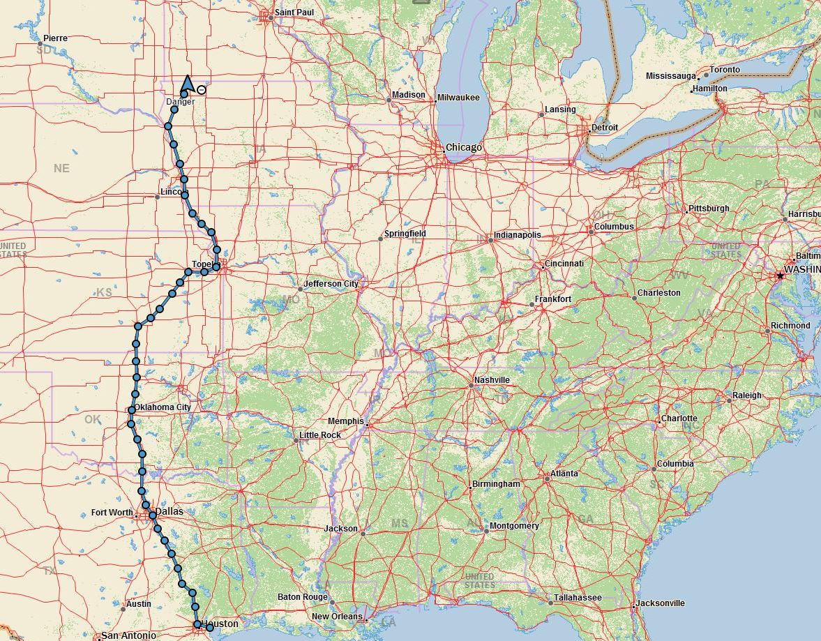
The schedule change yesterday meant that we needed to stay in Duluth another day for me to do  Eagle Mountain the Minnesota highpoint. 
The problem is that a couple hundred thousand people are now flooding into Duluth and every RV park within a hundred miles is booked. We heard from a local that the convention center allowed RV parking, and managed to get the only spot large enough to accommodate our 41′ coach. So the coach is parked, and I’m headed north now for Eagle Mountain. This will be a long day as I expect 6+ hours of driving and around 5 hours of climbing. 
And why are people flooding into Duluth? To see some old boats and "DuckZilla", a giant rubber duck. I’m not kidding, it’s an 11 ton duckie they pull with a tugboat. Really, I don’t make this stuff up, take a look for yourself. http://www.twincities.com/2016/01/30/worlds-largest-rubber-duck-coming-to-duluth-in-august

16 Aug

inReach message from Danger Beacon

In State Highpoints by Delorme InReach / August 16, 2016 / 0 Comments

Sinkhole circumnavigated, trailhead found. Standing on Timm’s Hill Wisconsins highpoint. Theres a tall tower with unobstructed view over trees, peaceful here

16 Aug

inReach message from Danger Beacon

In State Highpoints by Delorme InReach / August 16, 2016 / 0 Comments

A sinkhole has swallowed the road to the Highpoint. I’m trying to find an alternate route now.

16 Aug

Change of Plans

In State Highpoints by Robert Danger Byrd / August 16, 2016 / 0 Comments

As Napoleon famously said, no plan survives contact with the enemy, and so it is with highpoints.

I was planning on doing Eagle Mountain the Minnesota highpoint today, but heavy rains rolled in last night dumping lots of water on the highpoint as well as Duluth, and continued thunderstorms are forecasted today. If I didn’t have another option, I would go ahead and do Minnesota, but since I’m within striking distance of Wisconsin, I’m going to head for that one instead. It is a 7 hour round trip drive without stops, but a much shorter 1/2 hour hike and its dry there, at least for now.

I’ll try for the 6 mile Eagle Mountain climb tomorrow, and I expect it to be a muddy bog.

15 Aug

Hawkeye Point Trip Report Posted

In State Highpoints by Robert Danger Byrd / August 15, 2016 / 2 Comments

Today finds us in Duluth, camped by Lake Superior at the Lakehead Boat Basin, and we are taking a lazy day here. Tomorrow I plan to take the jeep and make the 3 hour drive up to Eagle Mountain the highpoint of Minnesota, and expect that climb to take about 5 hours. Susan will stay in Duluth, and as always, I’ll be blogging along the way.

The Hawkeye Trip report is posted below in its entirety. For a richer experience with larger photos see the Hawkeye Point Trip Report Page.

Hawkeye Trip Report
Yesterday morning, Sunday August 14th, 2016 Susan and I stood on Hawkeye Point, the Iowa state highpoint enjoying fresh gourmet coffee with warm blueberry muffins as we watched the sunrise over gently rolling farmland. Iowa makes 46 states, and the first of our Great Lakes 4 state trip.

When is the last time you had blueberry muffins on a highpoint? Well that's too log...

When’s the last time you had blueberry muffins on a highpoint? Well that’s too long…

Highpoint Statistics:

Read more →

13 Aug

Great Lakes Highpoint Trip Day 3

In State Highpoints by Robert Danger Byrd / August 13, 2016 / 2 Comments

We are 1’173 miles, 145 gallons of water, 2 Walmarts, and one audiobook into the trip. Tonight finds us in Iowa, camped in a completely empty RV park, next to Hawkeye Point.

Day 3, in the Great Lakes Trip.

Day 3, in the Great Lakes Trip.

Today had us driving through idealistic rolling farmland, with stolid granaries, presiding over neatly fields of cultivated fields stretching into the horizon. Finding ourselves in such remarkable scenery, is one of the great rewards of this highpointing journey. Being in places, so utterly American that you just want to lift your hands to God in praise for the purple spacious skies.

An Iowa sunset, across a field of ripe corn.

A very American sunset, across a field of ripe corn, taken from the highest point in Iowa.

Today was a very good day, I drove the 8 hours from Topeka where we stayed in our second Walmart of the trip to the Iowa highpoint. The Topeka Walmart was built on the site of a the Chief Drive Inn Theater, and as a nod to that bit of history, they left the Chief Drive In Theater neon sign intact. You can read more about that tidbit of history here.

Read more →

12 Aug

Great Lakes Highpoint Trip Underway!

In State Highpoints by Robert Danger Byrd / August 12, 2016 / 0 Comments

Times are hard for the Byrd family, last night we slept in a Walmart parking lot in Ennis Texas. OK, so its not as dire as it sounds, Walmart is a pretty swell place to stop with your RV on long trips. This morning I even brought Susan coffee in bed, which makes her feel loved, and more inclined to drive 😉

As you read this, Susan and I are in BigByrd making our way across America in pursuit of 4 more state highpoints located in the Great Lakes area. My coffee ploy having worked, Susan is at the wheel, and I’m at the desk.


The plan is to catch Hawkeye Point Iowa on our way north, and then continue to the  Great Lakes to complete Eagle Mountain Minnesota, Mount Arvon Michigan and Timm’s Hill Wisconsin. As always, you will be able to follow along real time here on The Danger Map 

Read more →

28 Jul

Back at Humphrey Trailhead

In State Highpoints by Robert Danger Byrd / July 28, 2016 / 0 Comments

I’m back at the trailhead now, in my rental car with the AC blasting chanting “There’s no place like Camry, There’s no place like Camry, There’s no place like Camry.

I must have found my inner pathfinder because I never lost the trail coming down. But I lost it 4 times on the way up.

I got lucky with the storm and stayed out of its reach as I quickly moved down the mountain.

This climb only took me 7.5 hours, but with the rough boot shredding terrain, wrong turns and heat, it felt like a much longer climb.

I’ll write a full trip report later.

28 Jul

inReach message from Danger Beacon

In State Highpoints by Delorme InReach / July 28, 2016 / 0 Comments

Rain and lightning in adjacent valley moving this way. Both shoe soles have come off and have been taped back on. In the treeline now.

28 Jul

inReach message from Danger Beacon

In State Highpoints by Delorme InReach / July 28, 2016 / 0 Comments

Thunderclouds directly overhead, ominous rolling thunder but no rain or lighting. Will be in the relative safety of the treeline soon.

28 Jul

inReach message from Danger Beacon

In State Highpoints by Delorme InReach / July 28, 2016 / 0 Comments

Made the summit, headed back down, multiple thunderstorms converging on mountain now. Don’t hear the sizzle of static charge building, so I’m safe for now

28 Jul

inReach message from Danger Beacon

In State Highpoints by Delorme InReach / July 28, 2016 / 0 Comments

10 minutes from summit, thunder starting, and I just tore the sole off my hiking boot. I carry duct tape for quick repairs, boot taped moving again.

28 Jul

inReach message from Danger Beacon

In State Highpoints by Delorme InReach / July 28, 2016 / 0 Comments

After steep rocky climb over multiple spirit crushing false summits I see the summit. Incredibly thick gnat swarms here. Storm cloud holding, gonna make it!

28 Jul

inReach message from Danger Beacon

In State Highpoints by Delorme InReach / July 28, 2016 / 0 Comments

Not far from summit now but that storm is getting closer. A climber was struck by lightning and died up her last week, so I’m keeping a close eye on it.

28 Jul

inReach message from Danger Beacon

In State Highpoints by Delorme InReach / July 28, 2016 / 0 Comments

Switchbacks are for pansies, climbed straight up through a rock slide and made the summit ridge. Other climbers are turning back due to storm cloud. Not me!

28 Jul

inReach message from Danger Beacon

In State Highpoints by Delorme InReach / July 28, 2016 / 0 Comments

Emerging from treeline soon. Trail not matching GPS, have lost trail 3 times and had to break trail through rugged steep terrain. Off trail at the moment.

28 Jul

inReach message from Danger Beacon

In State Highpoints by Delorme InReach / July 28, 2016 / 0 Comments

Required the trail, not too bad, only lost 20 minutes or so.

28 Jul

inReach message from Danger Beacon

In State Highpoints by Delorme InReach / July 28, 2016 / 0 Comments

Just realized I took the wrong path a while back, have to double back. Hate it when that happens!

28 Jul

inReach message from Danger Beacon

In State Highpoints by Delorme InReach / July 28, 2016 / 0 Comments

Leaving the trailhead now & satellite tracking is active.

28 Jul

Mt Humphrey Take 2

In State Highpoints by Robert Danger Byrd / July 28, 2016 / 0 Comments

Today I make my second attempt on the 12,633′ Mt Whitney.

I did move the climb day up due to potential thunderstorms tomorrow, but when I checked the weather this morning it looks fine either day. Since I was geared up, I decided to go ahead and get it done today.

The drive up the mountain road was not as exciting as last time in the absence of fresh deep snow.

I’ve got less than 25 pounds of gear all in, and it’s cool in the 50s at the moment, so it should be an easy day. Although I do expect extreme heat later on. It was 115 degrees yesterday during the drive from Phoenix.

I’m at the trailhead now getting geared up and will be leaving soon.